Rescue services would have arrived sooner to help a trawler sinking off the north Northumberland coast last year had it been equipped with a GPS enabled EPIRB, a report has said.
The U.K. Marine Accident Investigation Branch (MAIB) is circulating a safety flyer to fishing vessels to provide lessons learned from its investigation of the capsize and sinking of the fishing vessel Ocean Way with the tragic loss of three lives.
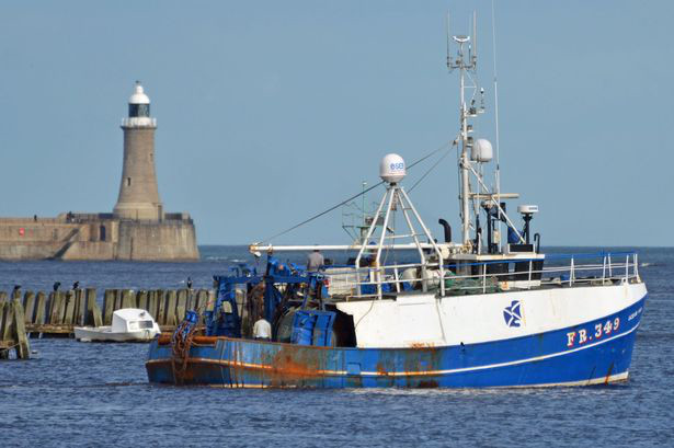
The 53ft fishing boat capsized and sank on November 2, 2014, when off the coast of England on passage to its fishing grounds.
Two of the crew were rescued after about three hours, when the body of the skipper was also recovered; the other two crew have never been found.
Ocean Way had left North Shields the previous evening and was heading north-easterly towards the Gut fishing grounds, about 120 miles offshore. The wind was south-south-west Force 6 with a heavy southerly swell and very rough sea.
The report explains: ‘At 10.58am, a signal from the vessel’s EPIRB (Emergency Position Indicating Radio Beacon) was received at the UK’s search and rescue satellite receiving centre and this information was passed to the MCA (Maritime and Coastguard Agency) at 11.01am.
Two crewmen remained on the upturned hull for about 30 minutes until the vessel sank under them. Two lifebuoys floated to the surface and the men used these to keep themselves afloat.
The flyer for the fishing community concludes with three safety lessons, the first being that ‘if Ocean Way’s EPIRB had been fitted with an integral GPS receiver, the rescue services would have arrived sooner’.
Download the full MAIB report HERE
Sources: MarineLog, Northumberland Gazette
Leave A Comment